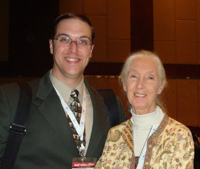
Jason San Souci, GISP (left) and Dr. Jane Goodall, founder of the Jane Goodall Institute
and UN Messenger of Peace (right) at Map World Forum in Hyderabad, India.
"Why is the most intelligent creature living on earth destroying it's own home, " asked Dr. Jane Goodall of the gathered geospatial community at Map World Forum in Hyderabad, India (February 10-13, 2009). This, one of the most important questions questions posed at the conference, got everybody thinking. Many about the different ways in which GIS is helping preserve the future of out planet.
The main theme of Map World Forum, a biennial event now held for the second time in the southern Indian capital of the state of Andhra Pradesh, was "Geospatial Technologies for Sustainable Planet Earth." Dr. Goodall, who currently travels the world for 300 days a year to raise awareness of this issue, was alerted to the significance of GIS by visualization of the tremendous effect of deforestation on Gombe National Park in Tanzania. NCDC Imaging was responsible for the QuickBird satellite image processing and forest composition analysis for this project. Not only did GIS raise her personal awareness, 3D models made it easier for the villagers around the park to understand what had happened to their natural living environment.
Delegates failed to come up with an answer to the seminal question posed by Dr. Goodall, but the theme was everywhere.

No comments:
Post a Comment